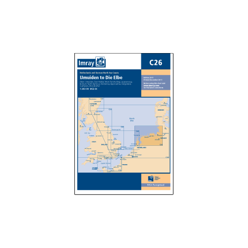
Imray Chart IJmuiden to Die Elbe C26

- SKU
- KHYOT0330
Description
Passage chart of the Dutch and north German coasts from Ijmuiden to Helgoland and the approaches to the Elbe. Five-minute gridlines. Larger scale plans of Ijmuiden, Den Helder, Brunsbuttel, Lawersoog, Cuxhaven, Helgoland and Norderney. Tidal stream diagrams.
Plans included:
IJmuiden (1:35,000)
Den Helder (1:21,000)
West -Terschelling (1:20,000)
Lauwersoog (1:15,000)
Borkum Yacht Harbour (1:25,000)
Norderney Approaches (1:66,000)
Helgoland (1:25,000)
Cuxhaven (1:12,500)
Brunsbüttel (1:12,500)
Scale 1:343,000
Size 700 x 1120mm
1:343,000
Water-Resistant Paper.
| SKU | KHYOT0330 |
|---|